
The Role of Geospatial Data in Modern Urban Planning
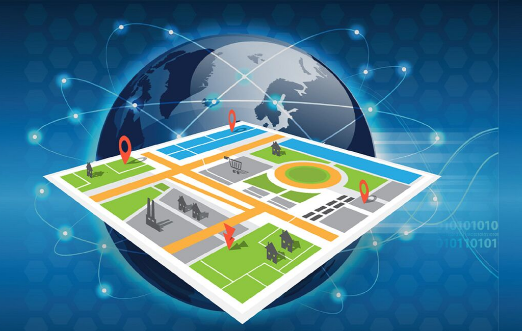
Geospatial data is central to the development of smart cities, providing the foundation for informed urban planning and efficient city management. By integrating location-based data with real-time analytics, municipalities can monitor infrastructure, optimize public services, and anticipate urban challenges before they escalate. Smart cities rely on the precision of Geospatial data to create interconnected environments where transportation, utilities, and public safety are enhanced through spatial intelligence.
Urban planners utilize geospatial data to analyze traffic congestion patterns, identify high-density zones, and evaluate environmental impacts. This data-driven approach ensures that urban expansion is sustainable and resources are allocated effectively. Geospatial insights enable decision-makers to simulate urban growth, assess potential risks, and implement policies that promote livable, resilient cities.
Transportation and Mobility Optimization
Intelligent Traffic Management
Geospatial data is revolutionizing traffic management in smart cities. Sensors, GPS-enabled devices, and connected vehicles generate continuous streams of location data, allowing transportation authorities to monitor congestion, detect incidents, and adjust traffic signals dynamically. By analyzing this spatial information, cities can reduce travel times, lower emissions, and enhance the overall efficiency of urban mobility.
Public Transportation Planning
Public transit systems benefit from geospatial data by optimizing routes, schedules, and service coverage. Transit agencies use spatial analytics to determine areas with high demand, identify underserved neighborhoods, and plan new routes that maximize accessibility. Integrating geospatial data with commuter behavior models ensures that transportation services are responsive to real-time needs, reducing delays and improving rider satisfaction.
Infrastructure and Resource Management
Utilities and Energy Distribution
Smart cities rely on geospatial data to manage utility networks efficiently. From water and electricity distribution to waste management, spatial analysis helps identify areas of high consumption, detect system faults, and predict maintenance requirements. Geospatial insights enable cities to implement proactive measures, reduce resource wastage, and ensure reliable services for residents.
Environmental Monitoring
Geospatial data plays a critical role in monitoring air quality, noise pollution, and green space distribution. Sensors and satellite imagery provide detailed environmental information, helping cities implement sustainability initiatives and comply with regulatory standards. By understanding spatial variations in environmental factors, urban planners can design interventions that enhance public health and ecological balance.
Public Safety and Emergency Response
Crime Analysis and Prevention
Law enforcement agencies leverage geospatial data to enhance public safety. Spatial analysis of crime incidents allows authorities to identify hotspots, detect patterns, and allocate resources strategically. Predictive policing models use historical geospatial data to anticipate potential criminal activity, enabling timely interventions and reducing response times.
Disaster Preparedness and Management
In emergency scenarios, geospatial data is essential for planning and response. Real-time location information from sensors, drones, and satellite feeds helps emergency services monitor natural disasters, such as floods, hurricanes, or earthquakes. By mapping affected areas and analyzing population distribution, authorities can coordinate evacuations, deploy resources efficiently, and minimize human and economic losses.
Smart Governance and Citizen Engagement
Data-Driven Policy Making
Geospatial data allows city officials to make informed decisions based on spatial insights. Policymakers can evaluate the impact of urban development projects, assess infrastructure needs, and prioritize investments effectively. Integrating geospatial data with demographic, economic, and social indicators ensures that policies are equitable and targeted to address real-world challenges.
Enhancing Citizen Services
Smart cities use geospatial data to improve the quality of services offered to residents. Applications include real-time information on public transportation, interactive maps of city amenities, and platforms for reporting issues such as potholes or utility disruptions. Engaging citizens through geospatial-enabled tools fosters transparency, accountability, and community participation in urban development.
Healthcare and Public Wellbeing
Spatial Epidemiology
Geospatial data enables the tracking and analysis of disease outbreaks within urban areas. By mapping infection rates, healthcare authorities can identify clusters, assess transmission patterns, and deploy targeted interventions. This data-driven approach is crucial for managing public health crises, optimizing hospital resources, and implementing vaccination strategies efficiently.
Optimizing Healthcare Services
Spatial insights help healthcare planners determine optimal locations for hospitals, clinics, and emergency services. Geospatial data supports accessibility analysis, ensuring that healthcare facilities are within reach for all communities. By integrating patient demographics and mobility patterns, cities can enhance service delivery and improve overall population health outcomes.
Economic Development and Business Intelligence
Site Selection and Market Analysis
Businesses leverage geospatial data to identify strategic locations for new stores, offices, or service centers. Spatial analysis of consumer behavior, demographics, and competitor presence provides actionable insights for market entry and expansion. Geospatial intelligence reduces risk, maximizes profitability, and enhances customer satisfaction.
Smart Logistics and Supply Chains
Geospatial data optimizes supply chain operations by providing real-time insights into delivery routes, traffic conditions, and warehouse locations. Companies can minimize transportation costs, improve delivery times, and maintain inventory efficiency. In smart cities, logistics optimization contributes to economic growth and enhances urban livability.
Future Trends in Geospatial Data for Smart Cities
Integration with AI and IoT
The combination of geospatial data with artificial intelligence (AI) and the Internet of Things (IoT) is driving the next generation of smart city solutions. AI algorithms analyze vast spatial datasets to uncover trends, predict outcomes, and automate decision-making. IoT devices continuously feed geospatial information into centralized platforms, enabling real-time monitoring and dynamic responses across city systems.
Predictive Urban Analytics
Predictive analytics powered by geospatial data allows cities to anticipate challenges before they occur. From forecasting traffic congestion to predicting energy demand and environmental changes, predictive models help city officials implement proactive measures, enhancing urban resilience and sustainability.
Enhancing Citizen-Centric Services
Future smart cities will increasingly leverage geospatial data to provide personalized, context-aware services. Location-based applications will enable residents to navigate urban spaces efficiently, access tailored information, and interact with city systems seamlessly. The integration of geospatial intelligence into everyday life will redefine the urban experience and foster smarter, more connected communities.
Conclusion
Geospatial data is a cornerstone of smart city development, providing actionable insights that drive urban efficiency, sustainability, and innovation. From transportation and infrastructure management to public safety, healthcare, and economic development, geospatial applications empower city planners and decision-makers to optimize operations and enhance citizen wellbeing.
By leveraging geospatial data, smart cities can anticipate challenges, respond to emergencies, and create interconnected environments that improve quality of life. As AI, IoT, and predictive analytics continue to evolve, geospatial intelligence will remain a critical tool in shaping the cities of the future.